Vercors Regional Nature Park
To the North of the Drôme river, the limestone vessel of the Vercors
Spread across the Isère and the Drôme, the Vercors rises as an outpost of the French Alps
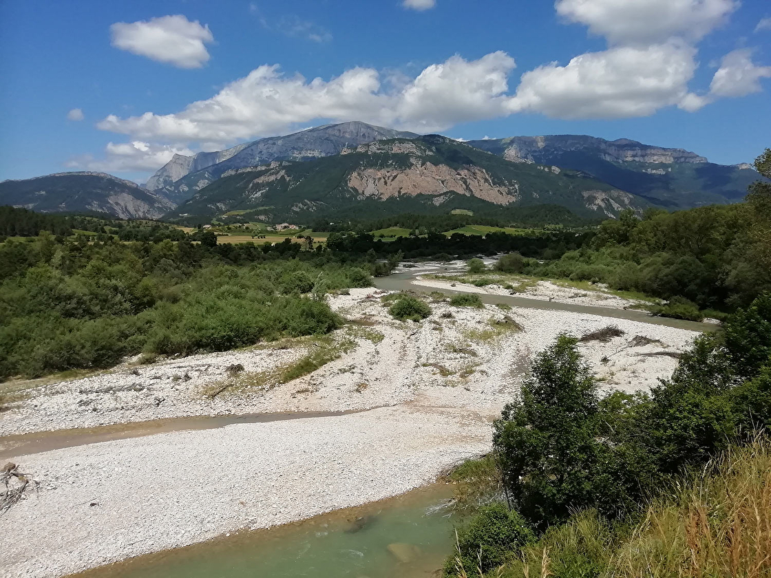
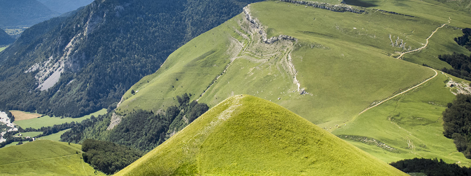
The ever-present rocks, including limestone pavements, cliffs, boulders, cave systems and karst formations are all the trade mark of the Vercors
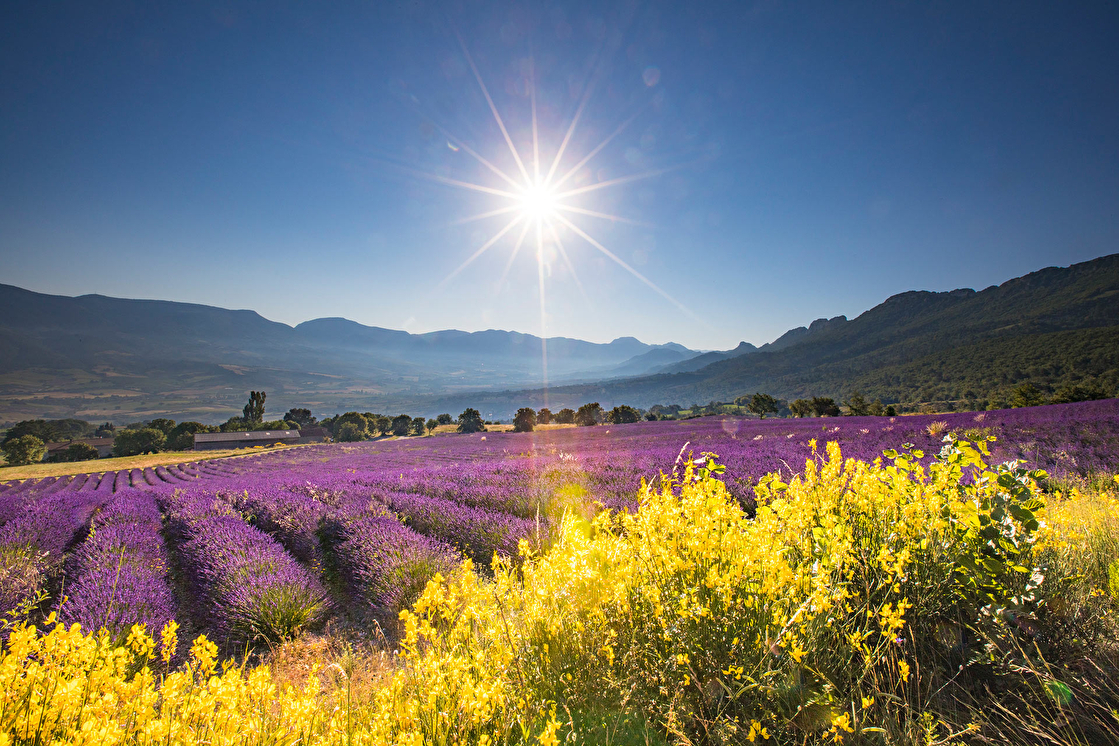
Lying at a cross roads of climatic influences, alpine flora jostles with lavender and dry orchid rich pasture.
On the same slope you may encounter edelweiss, symbol of high mountains, and thyme – typically Mediterranean.
High mountain fauna (ibex) and cliffs (all four species of European vulture), rub shoulders with southern species (cicadas) and even “remnants from the glacial episodes” (black grouse, emblem of the park), as well as large predators (wolf, lynx).
Did you know that on its southern ramparts, the park includes 15 villages of the Diois: : Chamaloc, Châtillon-en-Diois, Die, Glandage, Laval d’Aix, Lus-la-Croix-Haute, Marignac-en-Diois, Ponet et Saint-Auban, Romeyer, Saint-Andéol, Saint-Julien-en-Quint, Saint-Roman, Sainte-Croix et Vachères-en-Quint, Solaures. How to find out more about our villages.