Sport
Le col d'Ayaste
Laval-d'Aix
🌿The Diois is ready to welcome visitors again. The wildfire is now over and tourist activities are open as usual. Only the Solaure, Justin and Aup mountain areas remain closed to the public.

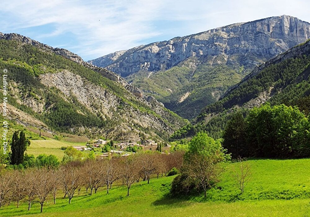
In the foothills of the Vercors, vineyards, lavender, cliffs, marl and black pines are the components of a work shaped by the folds of passes and combes, opening up a perspective on the Drôme valley and the characteristic silhouette of the 3 Becs.
1/ From the village center, take the main road to Les Duchères (586 m) and cross the hamlet. At the bridge over the Doux, the road ends and gives way to a track. It climbs up the left bank of the stream to Peyrol (686 m).
2/ At the fork, continue right towards Col d'Ayaste, following the main track up the Fontourse ravine for 2.3 km.
3/ Shortly before the end of the track, at an altitude of 1,010 m, below Les Chaux, take the path to the right. It leads to the Col d'Ayaste (1,050 m).
4/ Switch to the south-western side of the mountain. The path winds down in long, pleasant twists and turns. Pass a hut (shelter). Continue over marl. After a second series of switchbacks, you reach the vineyard.
5/ Cut the path and continue on the opposite side of the hill, along the vineyard. At the end of the field, take the path and then the track which curves to the right. At the end, take the road to the right and return to Laval-d'Aix.
Free access.

Information updated on 25/07/26 by the Pays Diois Tourist Office