Sport
Le Pison - Pas de Chabrinel
Romeyer
🌿The Diois is ready to welcome visitors again. The wildfire is now over and tourist activities are open as usual. Only the Solaure, Justin and Aup mountain areas remain closed to the public.

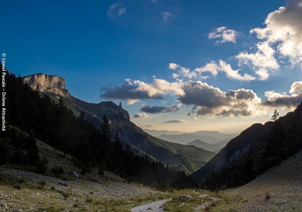
The path winds its way through the rocky cliffs of the Vercors to reach the Haut Plateaux nature reserve, a vast wilderness where 15,000 ewes graze and vultures fly.
1/ From the Fournaire parking lot (995 m), take the forest road to Les Drayes (1055 m).
2/ Take the right-hand path to reach Pas de Pillouse (1308 m) and continue left, crossing the slope to Vire Sac (1330 m).
3/ Continue straight ahead on the balcony path to pass close to the characteristic rock of the Dent de Die, at the Lentillière post (1440 m), at the Pison shelter (1540 m), and emerge higher up on the plateau at Pison (1613 m).
4/ Take the GR® 91 and 93 route (white-red markings), left to Pré Peyret (1590 m).
5/ Take the GR® 93 towards Col de Rousset as far as the Pré Peyret shelter. Then leave it to follow the left-hand path due south to the Pas de Chabrinel, which reaches the Gravelles crossroads (1356 m),
6/ Follow the path to the left to reach the hairpin of a track that leads to Les Echaliers (1006 m), past Le Château (1000 m) to Les Drayes (1055 m) and back to the parking lot.
Parcours en partie sur la réserve naturelle des hauts plateaux du Vercors, avec une réglementation spécifique à connaître et respecter.
Free access.

Information updated on 25/07/26 by the Pays Diois Tourist Office