Sport
Ramiat
Sainte-Croix
🌿The Diois is ready to welcome visitors again. The wildfire is now over and tourist activities are open as usual. Only the Solaure, Justin and Aup mountain areas remain closed to the public.

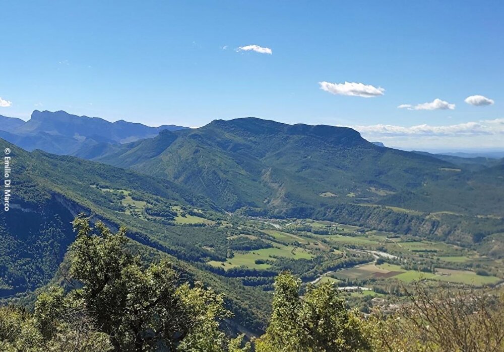
This loop between wide paths on the mountainside and trails in the pine forest leads to postcard-perfect views: on one side, the double steeple of the monastery against a backdrop of the Trois Becs, and on the other, the town of Die nestling at the foot of the Gland...
1/ From the parking lot, at the bend in the D129, take the road past the Clairette winery towards L'Éguillot and cross the Sure bridge (380 m).
> Depending on the season, it may be possible to hike in the opposite direction, to enjoy a shadier but steeper climb. In this case, turn right after the bridge.
Take the road to the left, towards Les Morins and L'Éguillot. Once past this hamlet, the trail rises steadily, alternating between undergrowth and clearings (with views of the village of Sainte-Croix and the Trois-Becs mountain).
2/ At Pallaire (793 m), continue right along the undergrowth track. Cross the track and continue along the path almost opposite. It runs at an angle to the crest of Ramiat 918 m (view of the Vercors peaks).
3/ Continue straight ahead on the path that descends gently to Combe Marre (863 m). After several hairpin bends, take the left-hand track for a few metres, then go right (follow the signs!). Pass a ruin in the middle of a pine forest and reach the Pierre-Plate crossroads (635 m).
4/ Take the path to the right (view of the Glandasse, the town of Die and the Justin cross overlooking it). At the Les Bouines sign (370 m), turn right onto the carriage path, past the houses (memorial, millstone) and back to the Sure bridge (390 m), then left to reach the village.
Selon la saison, il est envisageable de faire la randonnée en sens inverse pour profiter d’une montée plus ombragée mais plus raide. Dans ce cas, partir à droite après le pont de la Sure (380 m).
Free access.

Information updated on 25/07/26 by the Pays Diois Tourist Office