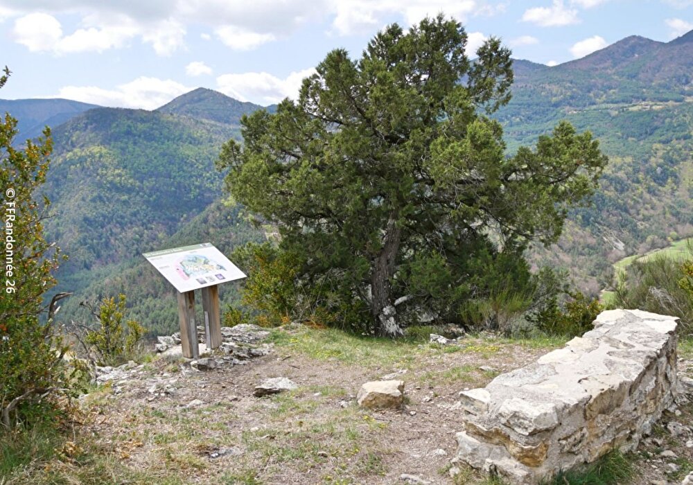
Built into the cliffs overlooking the Gâts gorges, the aerial path leads to the stone buildings of the hamlet, perched on its small suspended plateau, while offering the cool cover of remarkably large beech trees...
1/ At the end of the parking lot, take the path on the left towards Soubreroche. It heads towards the foot of the cliffs, then veers right. After 500 m, take the left-hand track for 300 m.
Coordinates: (44.6589016, 5.5570323)
Distance from starting point: 3 m
2/ At the crossroads, leave the path coming from La Combe on the right and take the path on the left. This becomes a path, crosses the cliff at Pas de l'Echelle and leads to Soubreroche.
Coordinates: (44.657711, 5.5653435)
Distance from starting point: 1 km
3/ At the center of the hamlet, take the track on the right between the houses for 120 m. At the bend, leave the track for the path on the left. After 100 m, fork right. The path climbs up through the woods, between ditches and moss-covered low walls. It begins a long traverse along the side, following the valleys and ridges of the north-western slope of l'Estellier. Remarkable beech trees can be seen in the last valleys after a spring.
Coordinates: (44.6616793, 5.5555302)
Distance from starting point: 2 km
4/ After a steep descent, at the bottom of the talweg, take the path on the left. It remains in the combe. At the bottom, take the path on the left and begin to follow the slopes of the mountain as on the outward journey, but in the opposite direction, by the path at the bottom (passing close to the void).
Coordinates: (44.6699611, 5.5751357)
Distance from starting point: 5 km
5/ Keep to the right of the path leading to the Vachères bridge. The path always climbs uphill.
Coordinates: (44.6744283, 5.566972)
Distance from starting point: 6 km
6/ Turn left up the old Soubreroche access track and return to the hamlet. Go downhill on the same path as before, cross the Pas de l'Echelle and take the track on the right to reach the parking lot.
Coordinates: (44.6684161, 5.5576319)
Distance from starting point: 8 km
Free access.
Information updated on 05/05/26 by the Pays Diois Tourist Office